April 21, 2026 · Updated
Is San Blas Part of the Darién Gap? Where Guna Yala Really Sits on the Map
No. The San Blas islands, officially Guna Yala, lie off Panama’s Caribbean coast, and the cays visitors reach from Cartí are about 200 km in a straight line from Yaviza, the town where the Pan-American Highway stops and the Darién Gap begins. The comarca does reach the Colombian border at its far eastern end, but tourism happens at the opposite end.
What the Darién Gap actually is
The Darién Gap is the break in the Pan-American Highway between Yaviza, in Panama’s Darién province, and Colombia. It is rainforest, river and mountain with no road through it, and it became known worldwide as a migration route on foot. People talk about it as if it were all of eastern Panama; it is a specific stretch of inland jungle along the Pacific-side province of Darién and the border.
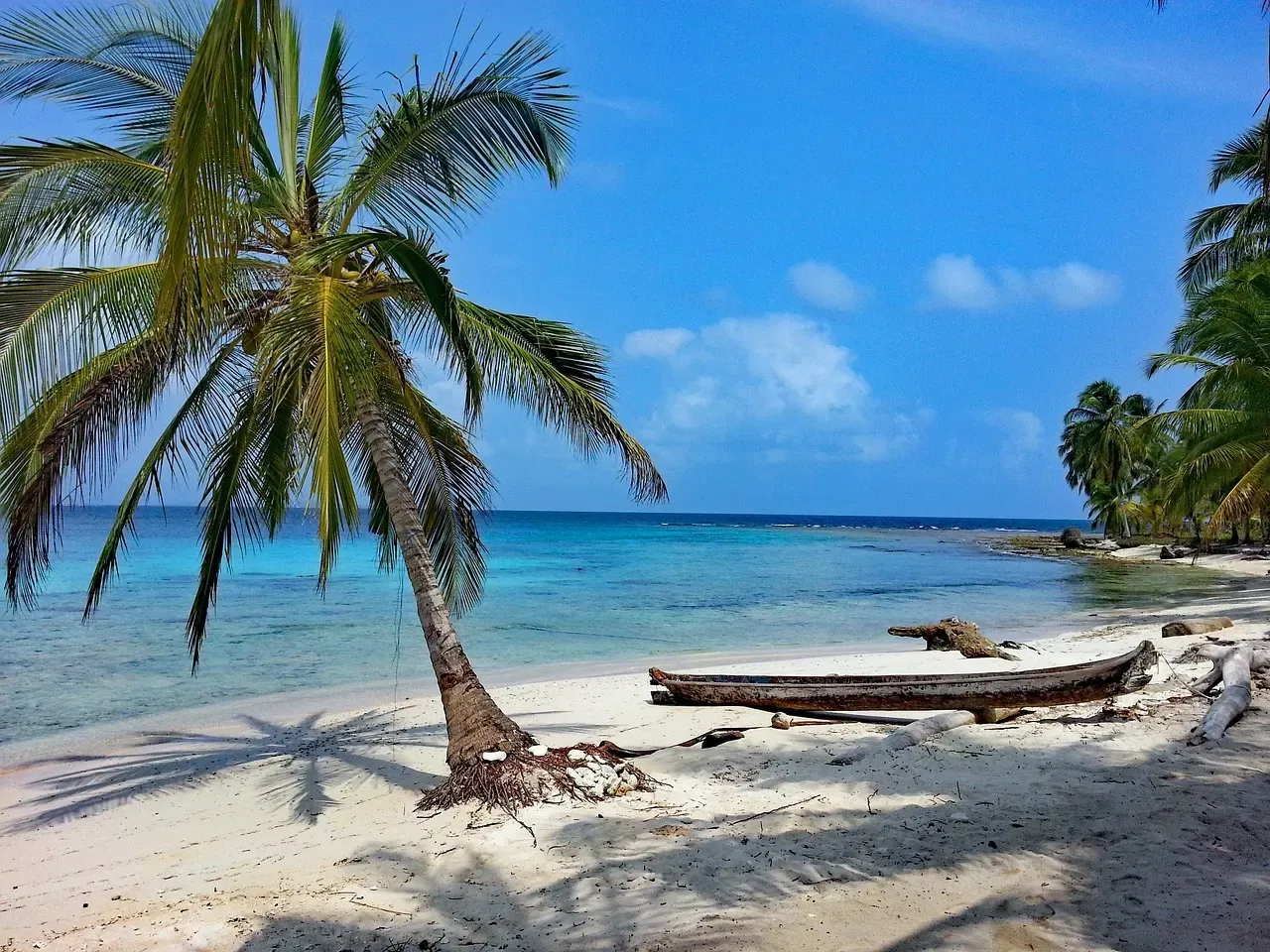
San Blas is something else: a strip of Caribbean coastline with a chain of low coral islands offshore, governed as an indigenous comarca. Nobody crosses it on foot to reach Colombia, and no road continues from the Guna Yala coast towards the border.
Where Guna Yala sits on the map
The comarca runs along roughly 315 km of Caribbean coast, according to the Guna General Congress writing in Cultural Survival, from the edge of Colón province in the west to the Colombian border in the east. A forested mountain range separates that coast from the rest of the country; on the other side lie Panamá and Darién provinces.
Everything a visitor normally sees — the port of Cartí, El Porvenir, Chichime, Cayos Limones, Cayos Holandeses — is at the western end. The approximate straight-line distances below are measured from Cartí:
| Place | What it is | Distance from Cartí |
|---|---|---|
| Cartí | Port where San Blas trips board the boat | — |
| Carreto | Guna Yala community on the line the UK uses for its border warning | about 170 km |
| Puerto Obaldía | Last Guna Yala town before Colombia | about 190 km |
| Yaviza | End of the Pan-American Highway, gateway to the Darién Gap | about 200 km |
The road you take to get there is not the Darién road either. Tours leave Panama City around 5:00 AM and drive about 2 h 30 by 4x4 north over the mountains to Cartí; our how to get to San Blas guide explains the route.
Why the two get mixed up
The confusion has real roots, which is why it is worth untangling rather than dismissing:
- Both touch Colombia. Guna Yala’s eastern end and the Darién both reach the border, and many maps shade “eastern Panama” as one remote block.
- Guna communities live in the Darién too. Panama has two other Guna comarcas besides Guna Yala, and one of them, Wargandí, was created by Law 34 of 2000 on land in Darién province. “Guna” and “Darién” do appear in the same sentence — about a different territory. History adds to the tangle: Scotland’s 1698 “Darien” colony stood on what is now the Guna Yala coast.
- Boats link San Blas and Colombia. The multi-day sailing trips between Cartagena and Panama cross the border by sea and pass along the Guna Yala coast; see sailing from Cartagena to San Blas.
- Migration made headlines on this coast in 2025. When people began heading south instead of north, some boarded boats at Guna Yala ports, including Cartí, bound for the Colombian border, CNN reported in February 2025. Within days, departures were also leaving from Miramar, in Colón province, as El Espectador reported. Those boats used the sea, not the jungle; the Darién Gap itself is still an inland route.
How to tell them apart in a headline
Place names are the quickest test. News about the Darién Gap mentions towns such as Yaviza, Metetí, Bajo Chiquito or Lajas Blancas, all in Darién province on the Pacific side of the mountains. San Blas stories mention Cartí, El Porvenir, Narganá or Gardi Sugdub, on the Caribbean coast. If an article about “eastern Panama” names none of these, look at where the photos were taken: jungle trails and river canoes are the Darién; coral cays and thatched island villages are Guna Yala.
The honest safety picture
The region that official travel advice warns about is the border area, and it is useful to see exactly where the line falls. The UK Foreign Office describes a risk of violence near the Colombian border east of a line from Punta Carreto, on the Guna Yala coast, through Yaviza to Punta Piña on the Pacific, and advises travelling east of it only in an organised group.
What that means in practice:
- The visitor islands are well west of that line. Cartí and the cays around it are around 170 km from Carreto. A standard San Blas day trip or overnight stay never goes near the border area.
- The far east of Guna Yala is a different trip. Places such as Puerto Obaldía are inside the zone the UK flags. They are not on tourist itineraries, and we do not run trips there.
- Ordinary risks on the islands are ordinary. Sun, sea, a bumpy crossing and a mountain road are what you actually plan for; our San Blas safety breakdown and the health and safety guide cover them.
Travel advice changes, so check your own government’s current page before you go rather than relying on any website, this one included.
Frequently asked questions
Is San Blas in the Darién?
No. San Blas (Guna Yala) is a separate comarca on the Caribbean coast. It borders Darién province to the south, across the mountains, but the islands and the port of Cartí are not in the Darién.
How far is San Blas from the Darién Gap?
Cartí, where San Blas trips board the boat, is about 200 km in a straight line from Yaviza, the town where the Pan-American Highway ends and the Darién Gap begins.
Is it safe to visit San Blas given its closeness to Colombia?
The tourist area is at the western end of the comarca, far from the border zone that the UK Foreign Office flags. Visitors there deal with ordinary travel risks — sun, sea and road — rather than border-area crime.
Can you travel from San Blas to Colombia?
Not by road: there is none. People cross by sea, on multi-day sailing trips or local boats along the coast, and must complete immigration formalities when leaving and entering each country.
Is Puerto Obaldía part of San Blas?
Yes, it is a Guna Yala town near the Colombian border. It lies inside the area the UK advises visiting only in an organised group, and it is not part of normal San Blas tourist itineraries.
Ready to see it for yourself?
Message us on WhatsApp — a real person helps you plan, no contact form.
Book Now